Reykjanes 3D Earthquake Chart (Past 48 Hours)
Hours Since Earthquake
0-4
4-8
8-12
12-24
24-36
36+
Bubble
Wave
Hours Back:
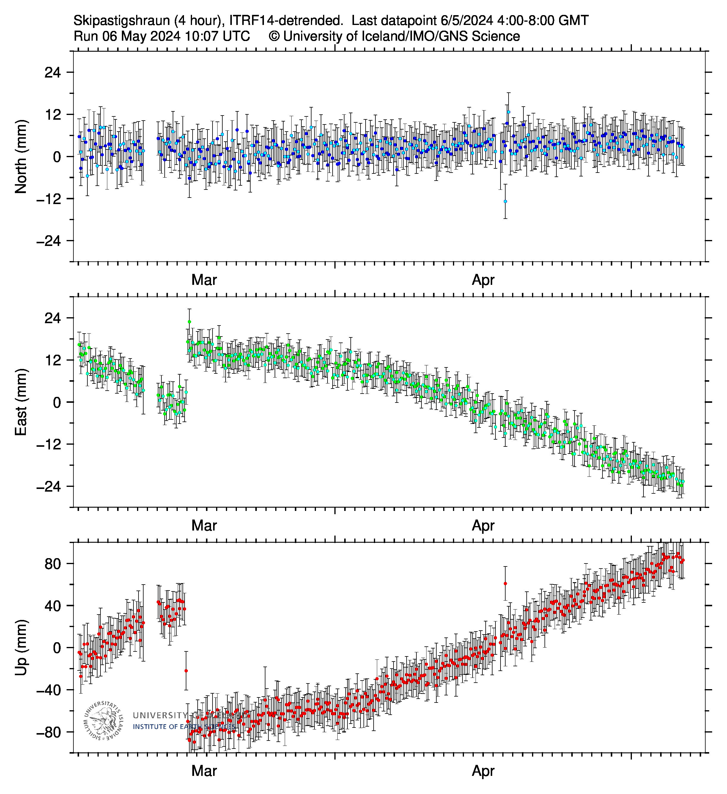
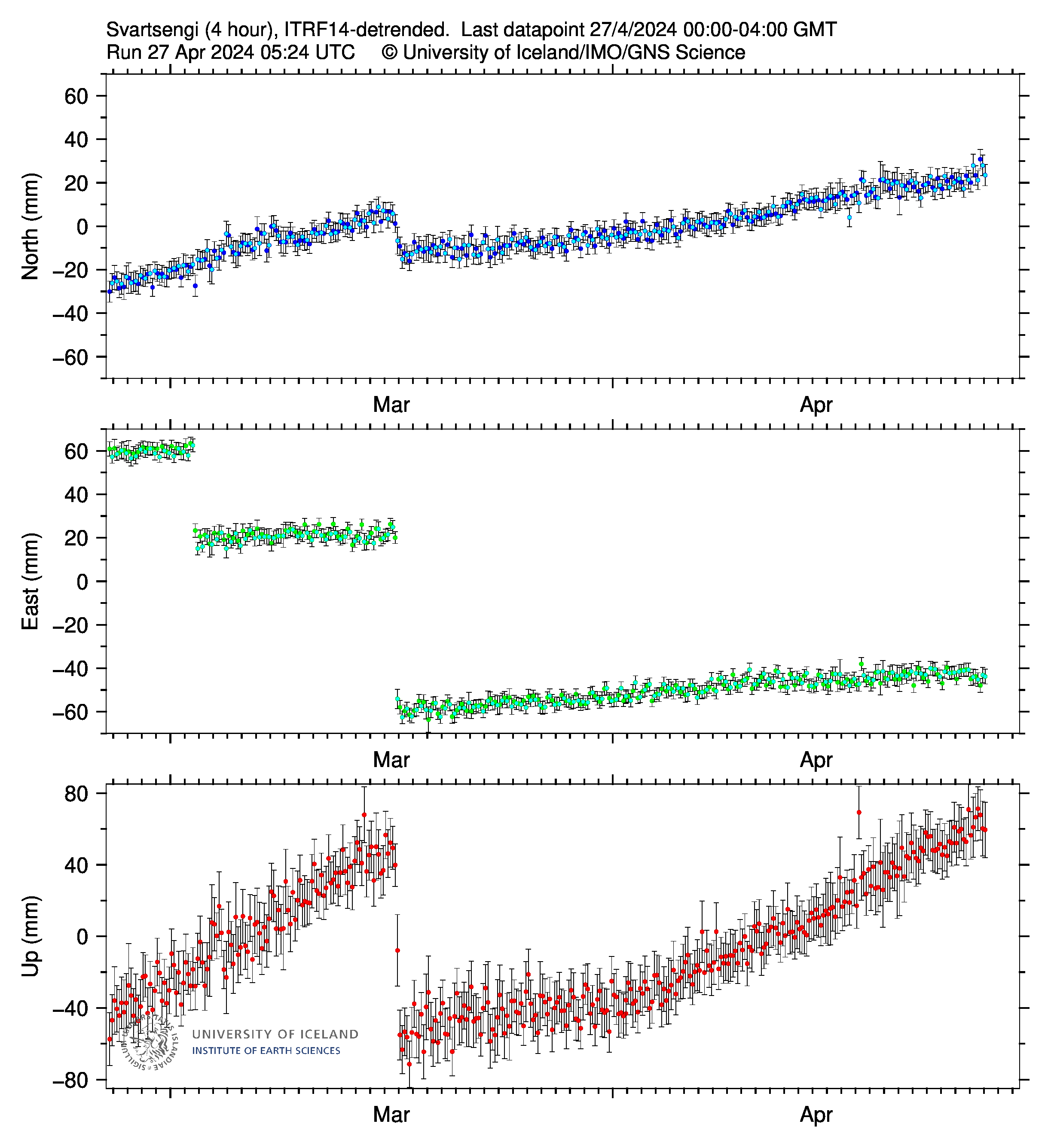
Crustal Deformation (SKSH / SENG)
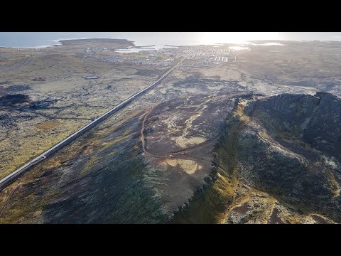
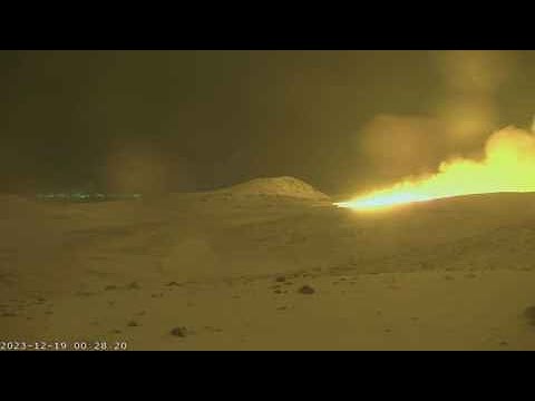
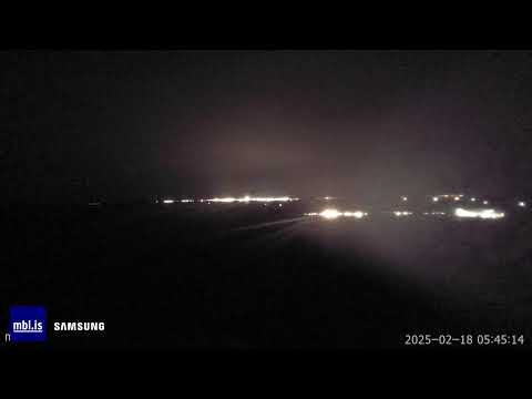
Live Camera Feeds


Fire & Iceland Documentary More


Harmonic Tremor Readings at Grindavik
Earthquake Depth Chart ()
Reykjanes Peninsula
Katla
Askja
Grímsfjall
Öræfajökull
Bárðarbunga
Grimsey
Borgarnes
Label: (Hrs,Depth,Mag)
Icelandic Earthquakes (Last 24 hrs)
Hours Since Earthquake
Click Below to Adjust
Click Below to Adjust
0-4
4-8
8-12
12-24
24-36
36+
Detailed Earthquake Data
Mag 3+
Mag 2+
Mag 1+
Current Hazard Zones (Updated December 3rd)

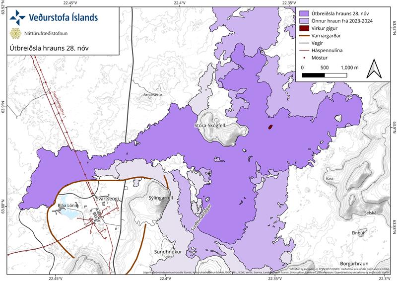
Current Lava Coverage (Updated November 28th)
Current Solar Data
Aurora Forecast

Area Walking Map
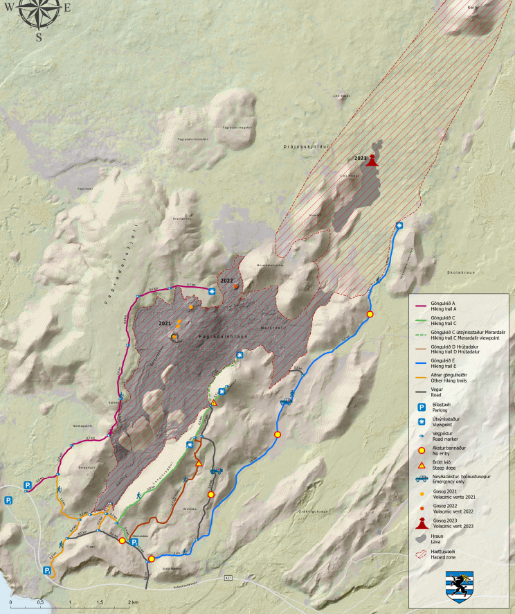
3D Map of 2024 Eruption
3D Map of 2023 Eruption Site
3D Map of 2021 / 2022 Eruption Site
Subscribe
Travel & Safety Information
Safe Travel Iceland
Icelandic Road Conditions
Icelandic Weather Service
Iceland Air Website
Play Airlines Website
Current Weather
Select Location
Forecast Weather

